 vesseltracker.com
Find the position of the vessel '636020479' on the map. The latter are known coordinates and path.
marine traffic ship tracker show on live map
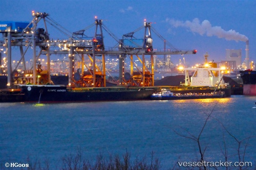
The current position of vessel '636020479' is 13.0795 lat / 120.19 lng. Updated: 2025-07-05 15:41:03 UTCPort of registry:
Majuro (capital of the Marshall Islands)Payload_mass:
182644 tonneGross tonnage:
93286Service entry:
2016-01-01T00:00:00ZDetails:
Last coordinates of the vessel:
UTC, 12.4948, 120.398, course: 342, speed: 11.9UTC, 12.7804, 120.335, course: 354, speed: 11.9
UTC, 12.845, 120.295, course: 319, speed: 11.8
2025-07-05 15:41:03 UTC, 13.0795, 120.19, course: 332, speed: 11.6